ACU-150 & ACU-400 product recall
Find out more

The Belgium/Netherlands chart includes full coastal marine navigation charts covering Belgian and Dutch waters. Additionally, the chart features Stentec® charts and information for Dutch inland waterways. Stentec®, the manufacturers of the WinGPS software and DKW series of charts have the most comprehensive inland water charts.
Visit the LightHouse Charts Manager
The charts include all Dutch inland waters, including critical bridge and lock information, shoreline structures, depth soundings, bathymetry, navigation aids and much more. Premium customers will also have access to comprehensive points of interests including Reeds Almanac, Marinas.com, Restaurants, Landmarks, Services and other Points of Interest.
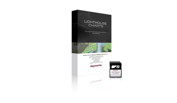
Includes 1 Free year of LightHouse Charts Premium Subscription


